Immersive
Langtang Himal
On 26 August 2026 a section of glacier broke from the north flank of the Langtang Himal. Scroll to follow the debris flow down the Lende Khola toward the Nepal–Tibet border. Drag the map anytime to explore.
Immersive
Glacier break
Roughly 600 metres of ice and rock detached from the north flank near 5,600 m — the far side of the ridge from the classic Langtang approaches — and fell into the headwaters of the Lende Khola. The magenta outline marks the approximate collapse scar.
Immersive
The collapse was the signal
USGS catalogued a magnitude 5.2 landslide-type event at 08:37 Nepal time — not an earthquake triggering the fall.
Immersive
Rasuwagadhi destroyed
Within minutes the wall of mud and debris reached the Rasuwagadhi border crossing — customs buildings, bridge, and hydropower works were swept away.
Immersive
100 km corridor
The surge continued down the Bhote Koshi and Trishuli systems — more than 4,500 m of relief over roughly 100 km toward the Indian plain. Blue lines are OSM waterways; the red line highlights the affected reaches we have mapped — Lende Khola through the border, then downstream on the main stem.
Impact
What the satellites saw
The 3D map uses live Esri World Imagery as a terrain drape. These stills are the event itself: Sentinel-2 two days before, Landsat 9 on 26 August — public-domain / Copernicus.
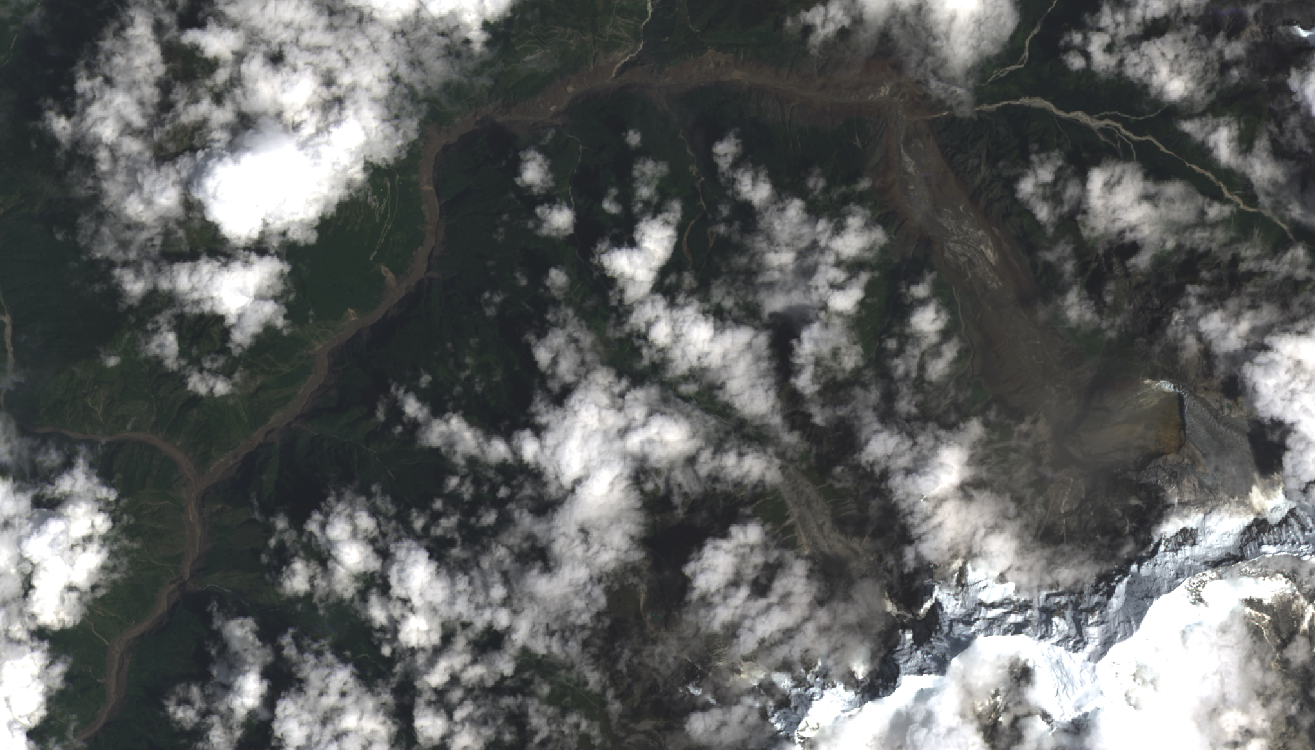
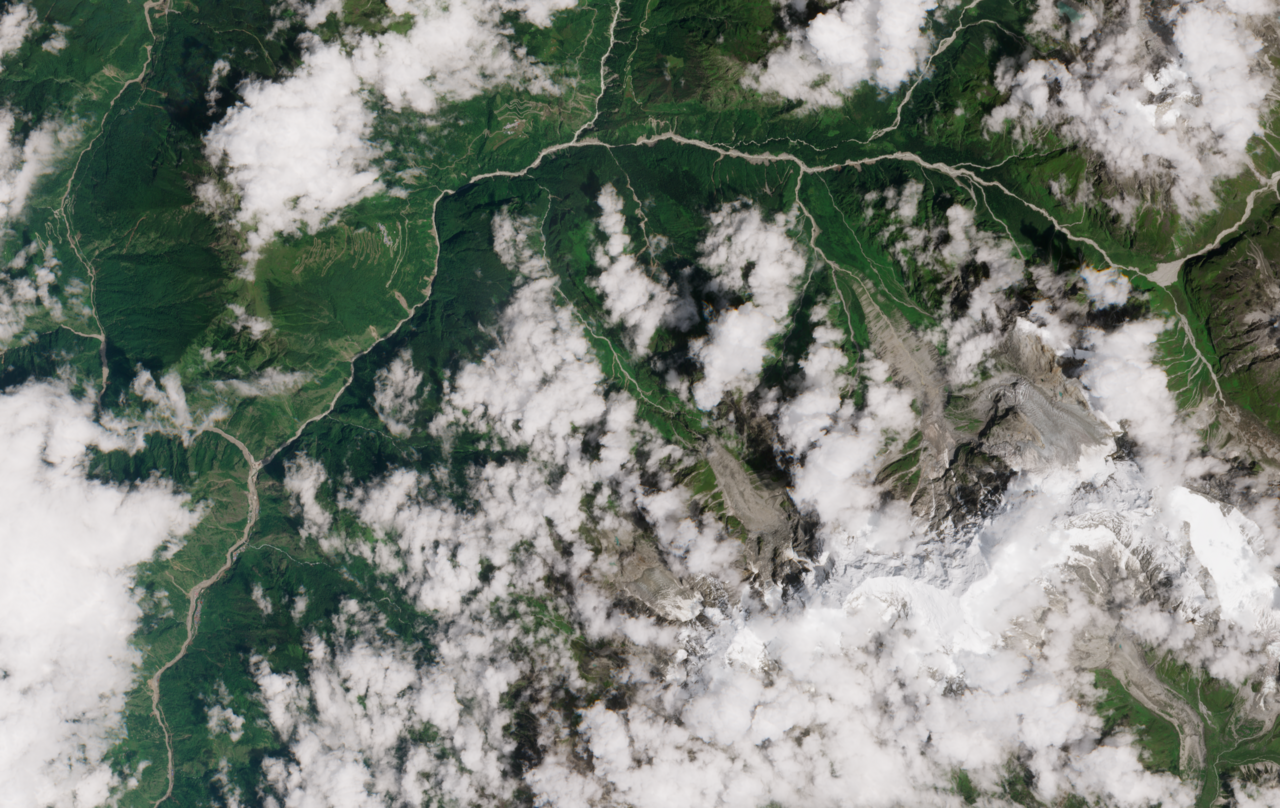
Before: Copernicus Sentinel-2 (CC BY 4.0, ESA). After: Landsat 9 / USGS (public domain).
Impact
Morning of 26 August
Nepal time — provisional timings from seismic, eyewitness, and gauge reports.
08:37
Glacier collapse
M 5.2 landslide-type seismic event at upper Lende Khola.
~09:00
Rasuwagadhi border crossing destroyed
Customs complex and friendship bridge swept away.
~10:30
Peak passes Betrawati
~50 km downstream of the source.
~11:00
Gauged reaches
Reported rises of 9 m in 30 minutes at Galchhi.
Impact
Rasuwagadhi before and after
Post-event imagery from 27 August 2026. Day-of optical coverage was limited by monsoon cloud. The map holds a corridor overview — highlighted site is Rasuwagadhi.
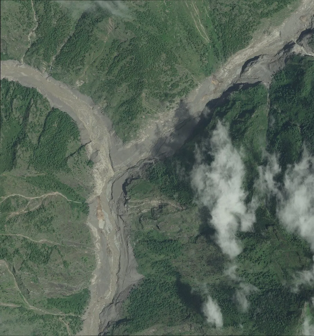
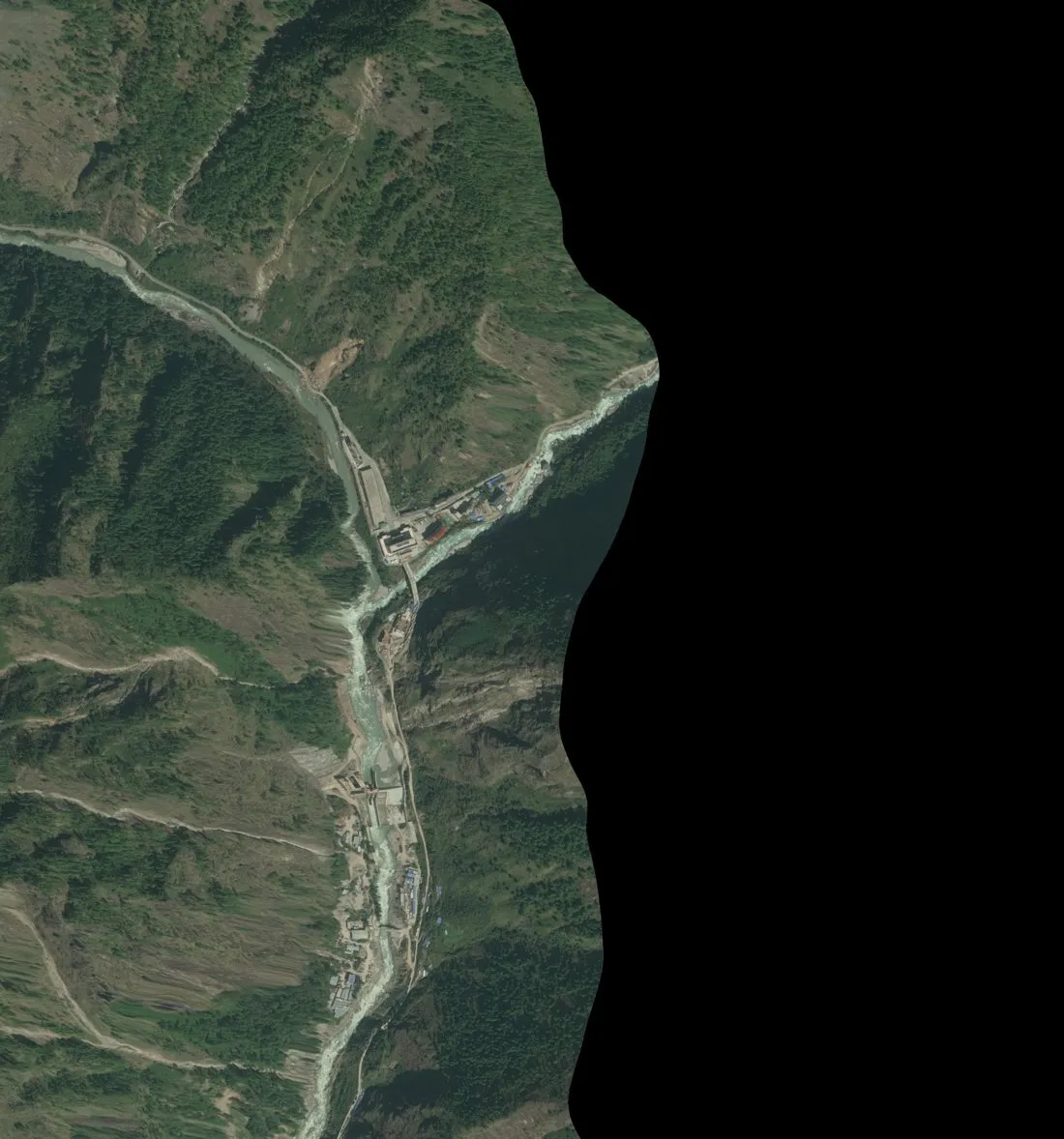
Rasuwagadhi border crossing. WorldView-2 / WorldView-3 © Vantor, open data (CC BY-NC 4.0) via Geopera.
Impact
Timure
Riverside settlement inundated within minutes of the front arriving. Map overview stays fixed; Timure is highlighted.
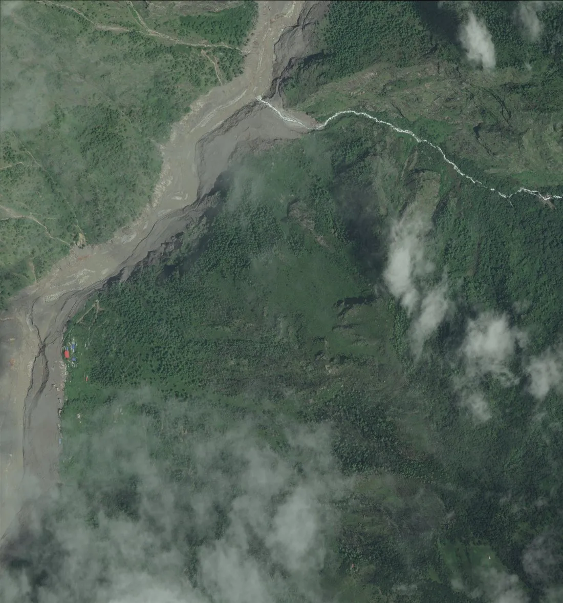
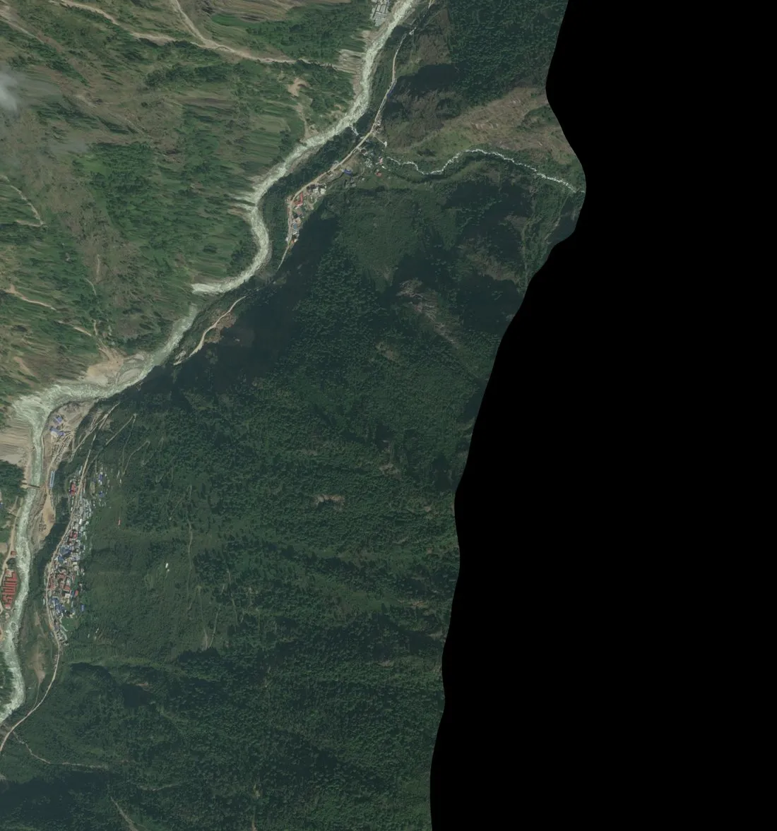
Timure, Rasuwa. © Vantor open data (CC BY-NC 4.0) via Geopera.
Impact
Syabrubesi
Houses that survived sit higher on the slope — an elevation contour drawn in buildings. Extruded OSM footprints mark the settlement on the overview.
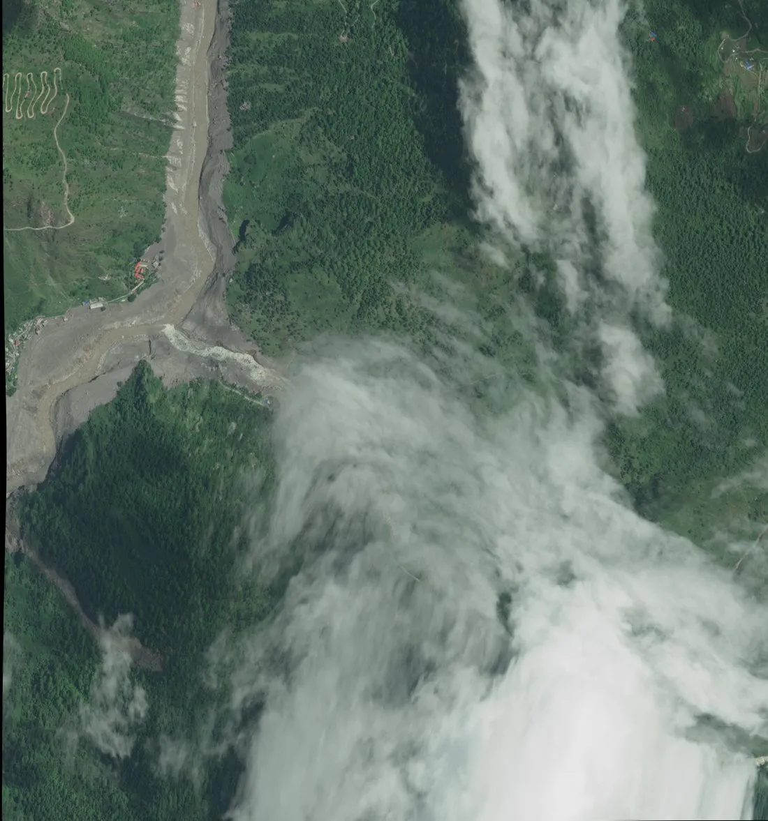
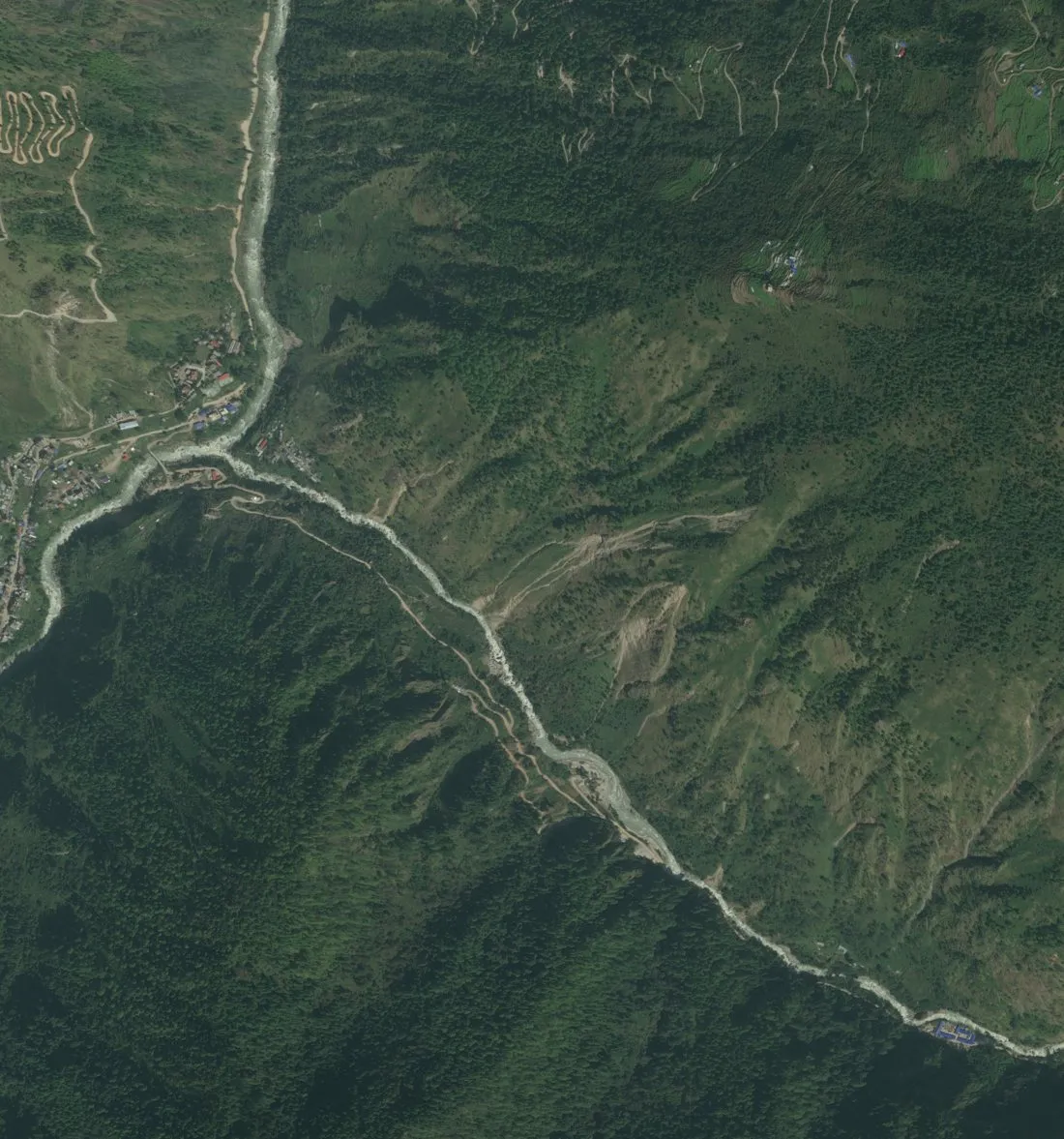
Syabrubesi. © Vantor open data (CC BY-NC 4.0) via Geopera.
Impact
Descent of 4,500 m
Approximate elevation profile along the river corridor (subset DEM).
Glacier source ~5,600 m to downstream reaches below 500 m.
Analysis
Measured from orbit
Key numbers from the geo-pera open reconstruction — trimlines, velocities, and volume estimates.
~70 m
Median trimline
Through confined gorges
37–52 m/s
Flow velocity
Lende Khola to border
~100 M m³
Estimated volume
±40% uncertainty
- Geopera trimline measurements
- geo-pera calibrated 1D/2D model
Analysis
Sediment wedge
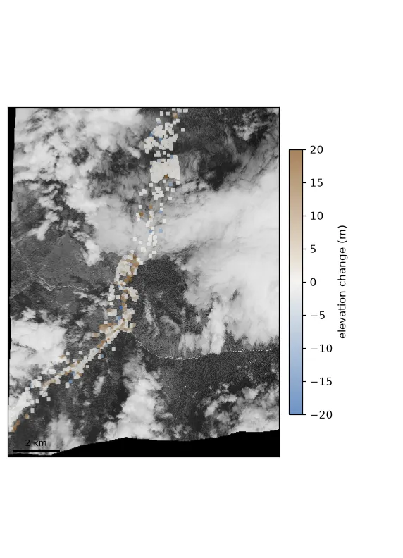
Stereo parallax from opposite-look WorldView-3 strips mapped 10–18 m of new valley floor through the gorge (subset polygon on the 3D map).
Analysis
Sources and licences
Open imagery and derived products used in this pilot story.
For official guidance follow Nepal NDRRMA — not this story.
Observe
Living event
Follow live hazard signals on Observe. For official warnings use Nepal NDRRMA — ECOVERSES informs, it does not replace emergency services.